Trail Network Plan
Consultation has concluded
This consultation has concluded. Thank you for your participation. Find out what we heard from the community. Review the final Trail Network Plan, endorsed by Council in 2025, at portmoody.ca.
Learn about the Draft Trail Network Plan
Learn about the vision and guiding principles, action plan and core actions, and proposed trail network extension:
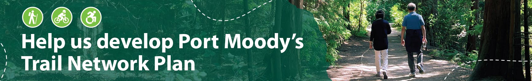
Port Moody's trail network
Port Moody is home to more than 60 kilometres of trails and pathways managed by the City of Port Moody and the Tri-Cities Off Road Cycling Association (TORCA). The trails, which travel through Port Moody's parks and green spaces and across urban areas, form the city’s trail network. It excludes trails from neighbouring communities and in təmtəmíxʷtən/Belcarra Regional Park - these are outside of the scope of this project.
The maintenance and enhancement of the City’s network of trails is a high priority for Port Moody residents. Our trails are a part of the city’s active transportation network, connecting different parts of the community. And they provide access to the City’s diverse forests and shorelines for a variety of purposes, including recreation and exercise, social connection, and the enjoyment of nature.
Why a Trail Network Plan?
In recent decades, Port Moody has experienced considerable growth in demand for use of trails and changes in the types of uses and trail visits. To meet this increasing demand, the City is reviewing the current trail network and looking at how to improve user experience.
The Trail Network Plan will define a vision for the City’s extensive trail network and provide clear and coordinated direction for planning and managing our trails and trail-related amenities over the next 30 years.
Learn about related plans that will guide the development of the Trail Network Plan.
Learn about Phase 1 and Phase 2 public engagement.
-
Proposed trail network extension
Share Proposed trail network extension on Facebook Share Proposed trail network extension on X (formerly Twitter) Share Proposed trail network extension on Linkedin Email Proposed trail network extension linkConsultation has concludedThe Draft Trail Network Plan identifies proposed new trail routes and desired connections to expand Port Moody’s trail network within parks and green spaces, and within urban/residential areas (pending environmental assessments as well as future funding, partnerships, and grants). The proposed trail network extension would be achieved through the formalization of unauthorized trails and/or construction of new routes. Overall, the proposed trail network extension is intended to provide:
- more trails in parks and greenspaces, for example new trails in Chines Park and an extension to the Shoreline Trail, including consideration for new mountain biking primary trails;
- more connections between parks, for example from Chines Park to Rocky Point Park and from Old Orchard Park to Bert Flinn Park;
- improved urban multi-use paths/bike routes to connect the Glenayre, Seaview, and College Park neighbourhoods with Moody Centre and with Burnaby Mountain and Coquitlam trails;
- completion of a regional greenway connecting Pleasantside to Belcarra and Coronation Park to Coquitlam; and
- desired trail and urban route connections in areas where further studies will be required to confirm the feasibility of establishing new trails.
The map below shows the proposed trail network extension:
Click here to view a full-size map
